
Support
Getting Started
Eight steps from an empty device to a shared record.
- 1
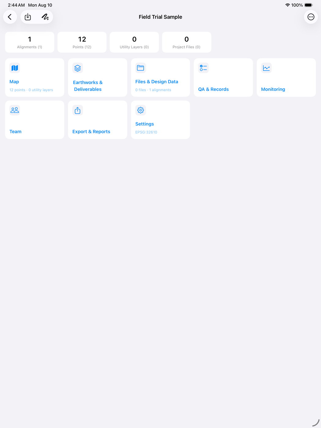
Create a project
On the Projects screen, create a project and give it a name. A project is the container for every point, surface, deliverable and attachment that follows.
- 2
Set coordinates and units
Choose the units the project works in and record its coordinate reference label. ARKAK applies a source-to-project transform on import; it does not transform between datums, so the project's own framework must be right before data arrives.
- 3
Import project data
Bring in points from CSV or TXT with column mapping, alignments and surfaces from LandXML, and linework from DXF. Each import keeps a record of the file it came from.
- 4
Add points, alignments or surfaces
Set an active alignment to get station and offset. Build surfaces from imported points, and edit the TIN where the survey needs it.
- 5
Choose a field workflow
Cut sheet, utility locate, stockpile volume, inspection or progress record — whichever the day's work calls for.
- 6
Capture or verify in the field
Work offline. Capture positions, compare surfaces, measure a pile, record a locate, attach photos and notes where they belong.
- 7
Generate a report
Produce the Cut Sheet, Locate Sheet, Stockpile Volume Sheet or Coverage Register as a print-ready PDF.
- 8
Share or archive the record
Export the PDF or the data, or move a whole project between devices as a project package.
Contact Support
If the answer is not here, write to us. Include your device model, the ARKAK version, and what you were doing when it happened.