
Platform
One project. One set of information. Every role working from it.
ARKAK is not a folder of field tools. It is a single project database — spatial, versioned and permissioned — that the survey crew, the field crew, quality control and management all read and write through views suited to their work.
How it is built
Four layers, one record.
Each layer below is a real part of the product, not a diagram. They are listed in the order information moves through them.
- 01
Project data
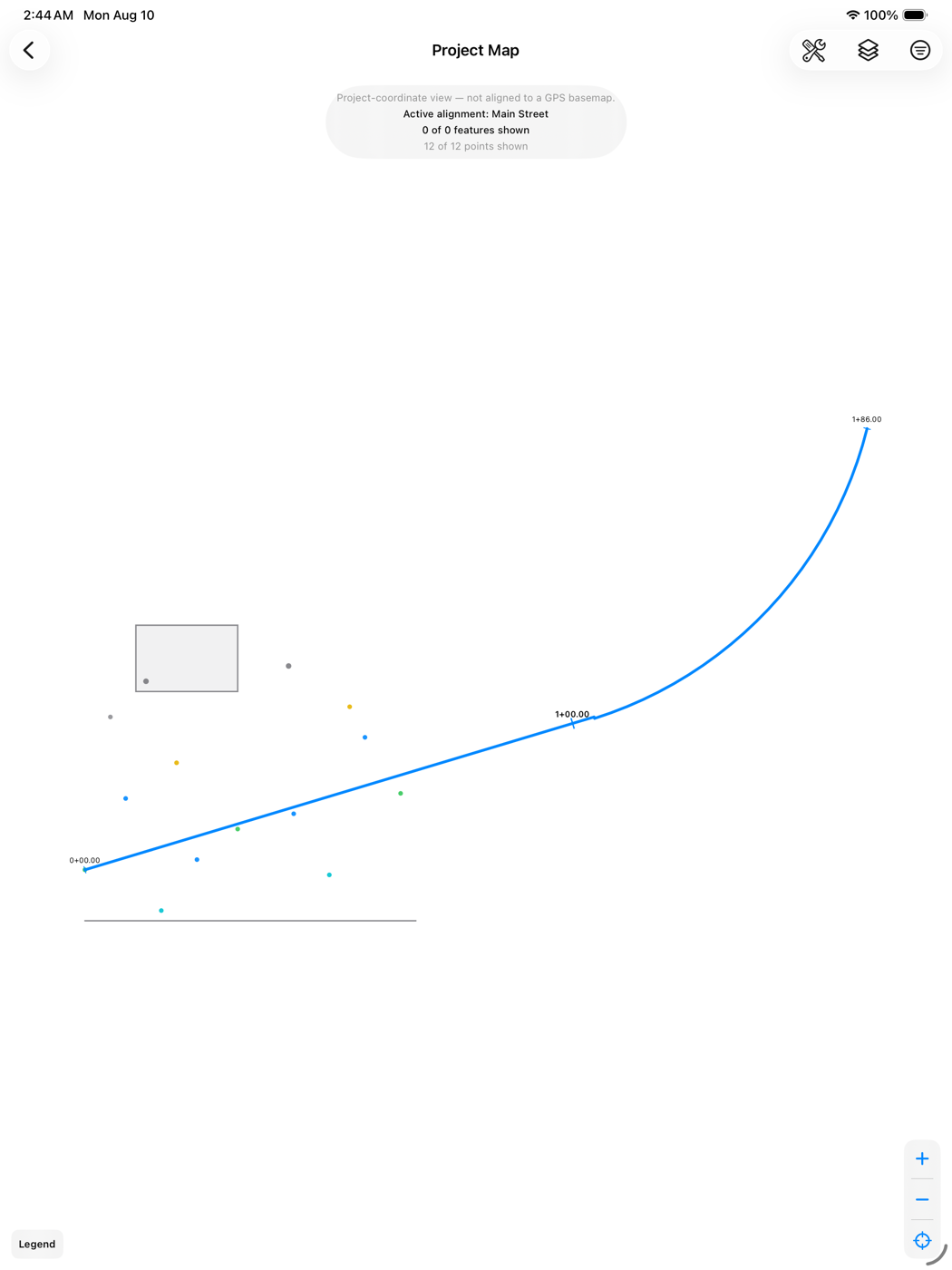
Points, alignments, surfaces, TINs, utility features and attachments, in project coordinates, with the source file each value came from retained alongside it.
- 02
Field capture and calculation
Station and offset, cut and fill, surface comparison, stockpile volume and locate geometry — computed on the device, offline, from the project's own data.
- 03
Deliverables and workflow
Results become field deliverables with a construction layer, a footprint, personnel, a workflow state and a revision chain. Publishing supersedes the previous revision rather than editing it.
- 04
Authorization and record
Who may do what is decided by one permission engine used by the app and the server alike, and every change writes an audit entry in the same transaction.
Offline is the design centre
The trench has no signal. ARKAK was built for that first.
The device keeps its own database and never waits on the network. Work carried out with no connection is queued locally and reconciled later; a device that has never seen a server runs in Local Mode indefinitely, which is a supported state rather than a setup step.
- The project opens, draws and calculates with no connection
- Local changes queue as a debt the device owes, written in the same transaction as the change
- On reconnect: refresh authorization, pull, reconcile, push
- A conflict keeps both versions rather than silently choosing one
- An offline authorization lease bounds how long a lost device stays useful
Synchronisation currently covers survey points. Surfaces, alignments, features and attachments are in development and are labelled as such throughout this site.
Authorization
Operational roles do not edit survey geometry.
A foreman may be twenty years senior to the surveyor and still may not move a coordinate, redraw a TIN or import a design surface. That is not a slight — it is what makes the survey record defensible. ARKAK draws that line in the permission model rather than in guidance.
- 60
- permissions in one canonical vocabulary
- 16
- project roles, plus organization roles
- Deny
- always beats grant
- 404
- returned across companies — never 403
The permission engine is implemented twice — once in the app, once on the server — and the two are tested against the same inputs to prove they return the same verdict.
See it against your own project type.
A demonstration runs on real ARKAK, with the workflows your crews actually use.